Construction Services

Construction Services
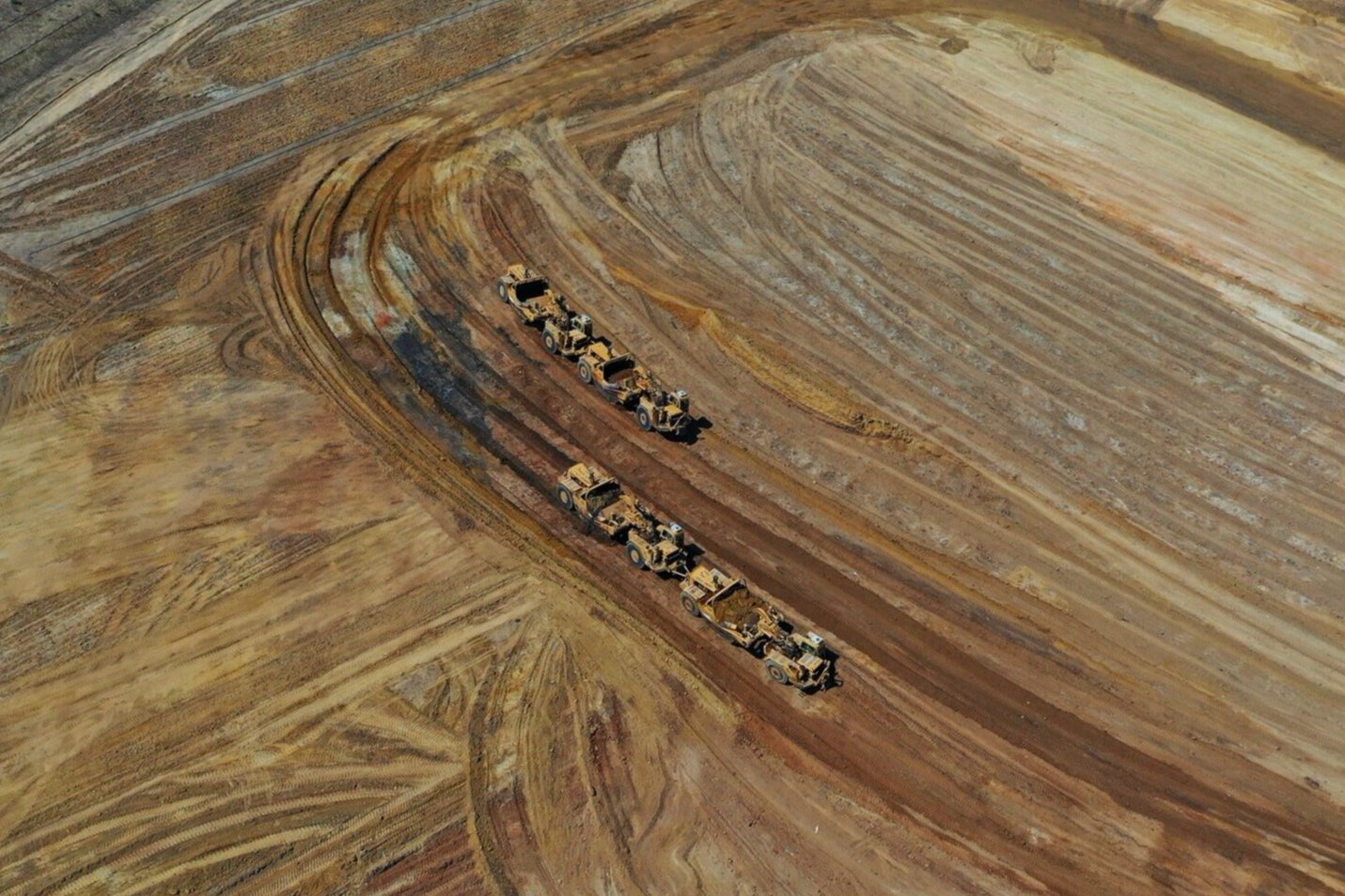
In the last few years, drones have helped make several improvements in construction, from increased accuracy in reporting, to improving safety conditions, to cutting costs and increasing efficiency.
With drones making it easier and easier for companies to provide visual data on the progress of a construction project, our clients can now get quick updates on how things are proceeding. These updates include detailed maps of the entire site with GPS points, which allow you to zoom in and view small details of the area

3D Scans
Aerial photos, maps, and 3D models have the power to transform your workflow. Not only can drones save your team time and resources, but they also give you a rich set of data to help keep projects on schedule and under budget. If you are a project manager looking to bring drones to your job site, we’ve put together this primer to get you started.
Orthomosaic photogrammetry
This is software we use to automatically capture aerial images ideal for your type of project, process and generate interactive maps to measure distance, area, and volume.
DroneDeploy
We are certified analyst which means we have proper training and understanding in using the DroneDeploy application in capturing and processing data. This data can be turned into vital information you can use within your progect.